Address
Unit F7 Waterfront Studios Business Centre
1 Dock Road
1 Dock Road
London
Greater London
South East
E16 1AH
England
About Apex Engineering Services Ltd
Over the past decade, Apex Engineering Service has established itself as a leading supplier of technical services to the construction industry worldwide. Founded on the skills and experience of a select group of seasoned freelance engineers and specialist contractors based in the UK, we are flexible enough to take on jobs of virtually any size, anywhere – from overnight retail premises surveys to long-term civil engineering projects.
3D LASER SCANNING & MODELLING
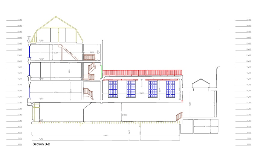
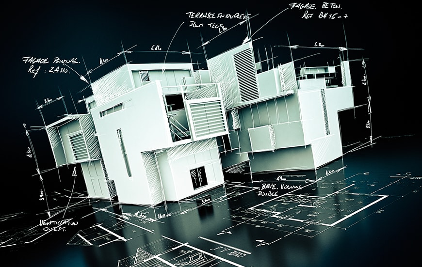
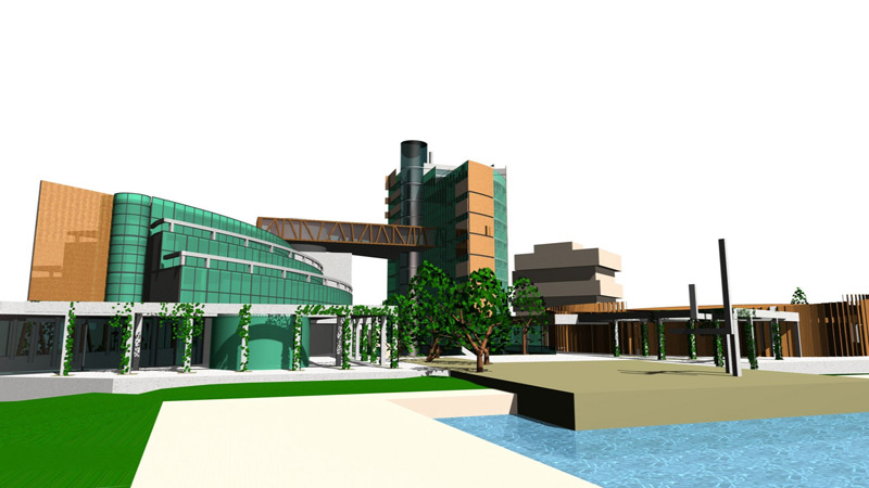
- BUILDING INFORMATION MODELLING BIM is a process that involves creating and using an intelligent 3D model to inform and communicate project decisions.
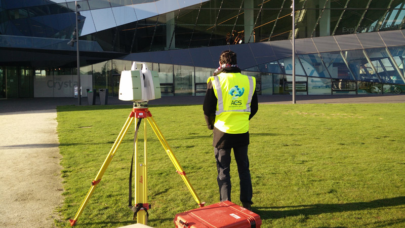
- 3D SCANNING 3D High Definition Laser Scanning is used as a precise survey instrument to make very accurate measurements in complicated environments.
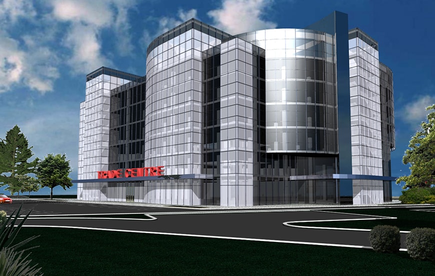
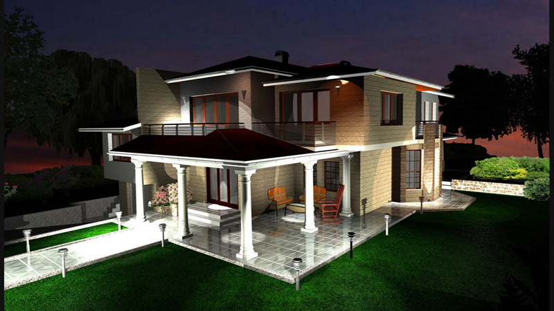
- 3D MODELLING Apex Engineering Services are leaders in gathering and transforming all the surveyed information to a 3D model.
- MEASURED BUILDING SURVEYS Apex Engineering Services are one of the leading companies in measured building survey services.
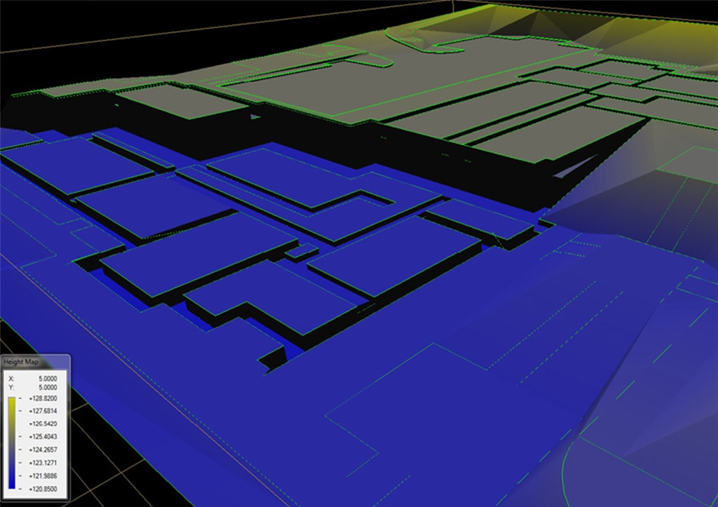
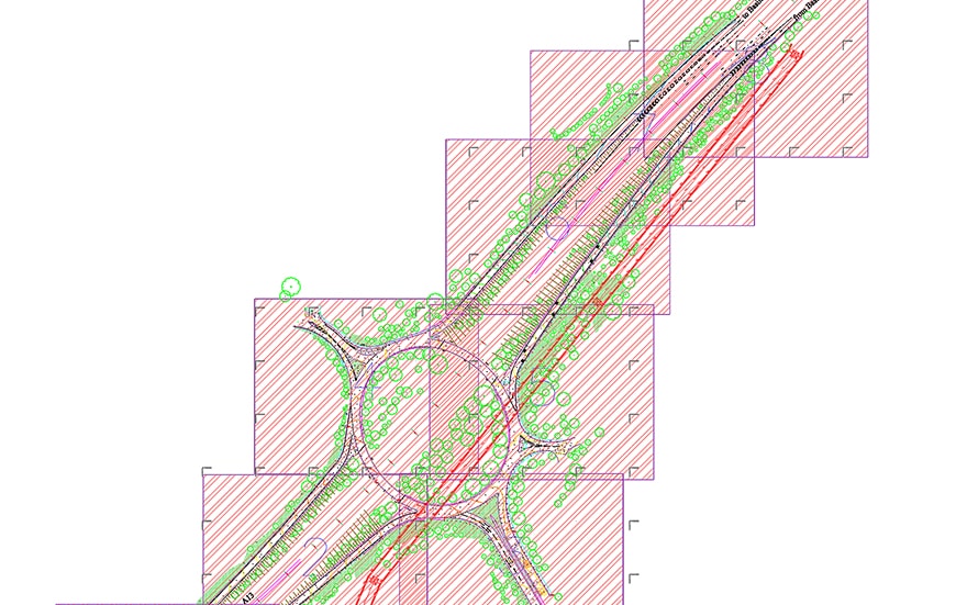
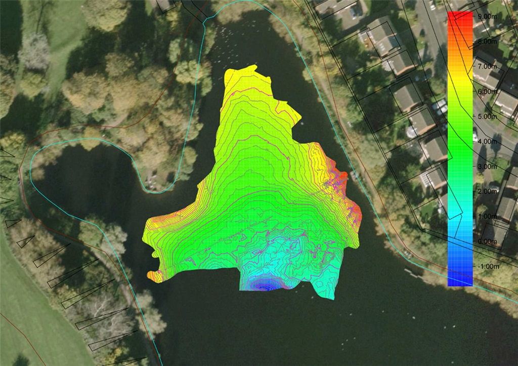
- DIGITAL TERRAIN MODELLING Apex Engineering Services employs state of the art software to create digital models.
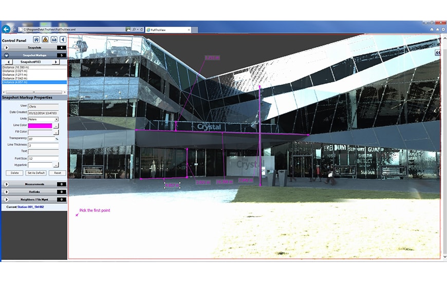
- TRUVIEW Apex Engineering Services are using 3D technology to develop most advanced service to our clients.
CONSTRUCTION SITE ENGINEERING
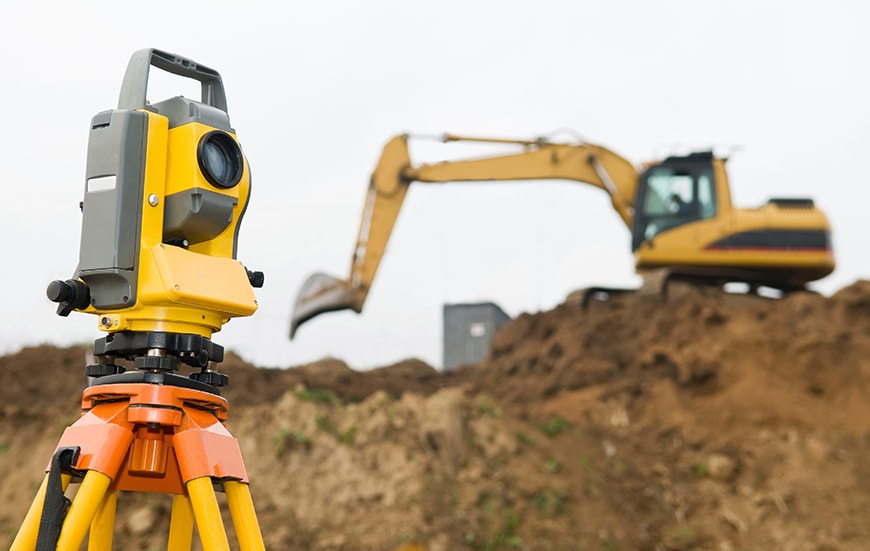
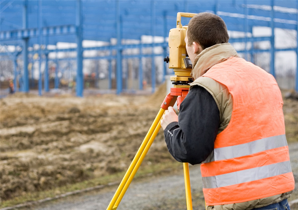
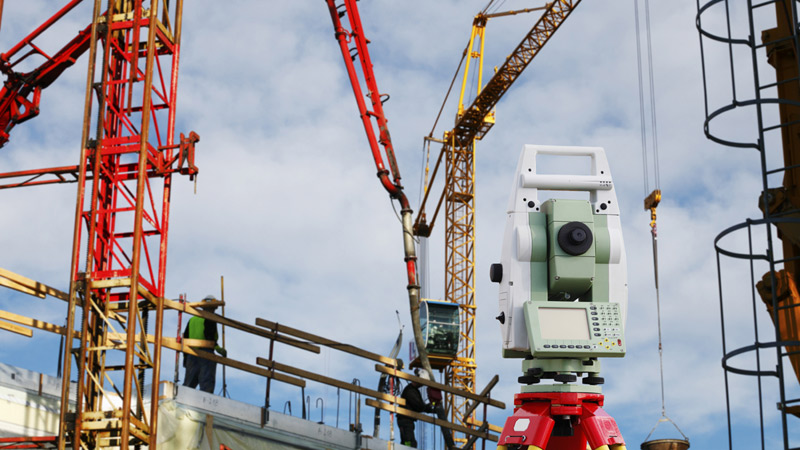
- SETTING OUT Apex Engineering Services setting out services offer contractors a fast, virtually foolproof method for marking out the precise location of new features and structures.
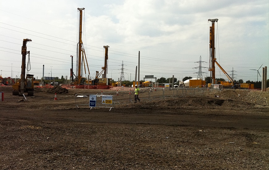
- PILING Apex Engineering Services are Piling experts.
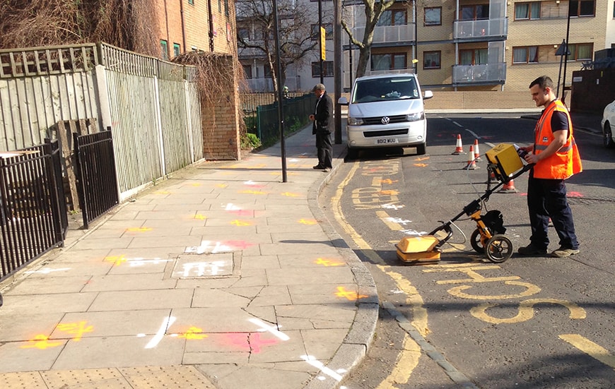
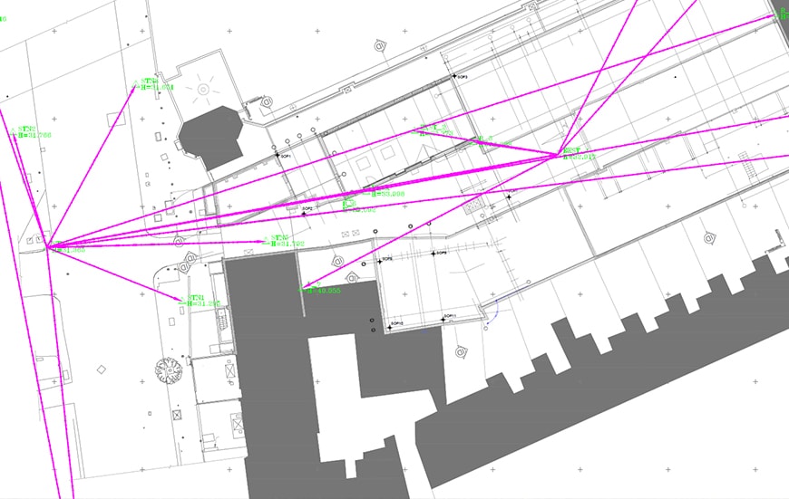
- SURVEY CONTROL Apex Engineering Services primary and secondary control service provides highly experienced surveying teams delivering survey control at every stage of the project.
Using a mix of robotic survey equipment and GPS technology, along with industry standard software and our own bespoke applications, Apex Engineering Services engineers transfer data directly from the design drawing to site – without further intervention. Our setting out processes thus eliminate many of steps in which errors typically occur.
Our high skilled and experienced civil engineers are ready to take a part in any piling project. Using advanced and high precision survey equipment we minimise the risk of errors. Apex Engineering Services software accurately and automatically selects the centres of piles and other objects. This makes the process of picking each point manually with a cursor redundant, eliminating another time-consuming convention that tends to produce. The resulting data is exported to a file and processed to the setting out stations before transmission in the preferred format.
Whatever their size and scope, virtually all construction projects start with the need for precise survey control: initial survey, establishment of the building footprint, provision of gridlines and datums to all construction levels. Everything our engineers do is governed by our best practice quality management systems and compliance with our clients’ own business processes: GPS Control, Primary Control, Secondary Control.
SURVEYS
- TOPOGRAPHICAL SURVEYS Apex Engineering Services has the capability to undertake and manage all forms of topographic data collection.
- HYDROGRAPHIC SURVEYS Apex Engineering Services is built upon the understanding that hydrographic surveying is an extremely specialized function.
Apex Engineering Services engineers collect detailed information about natural and man-made land features and elevations in an efficient and cost-effective way to deliver data for establishing land boundaries, rights of way and fence lines, subdividing areas of land into lots, calculating areas, distances, directions, and cut and fill volumes, setting out new structures, and so on.
We run a specialized team to gain the highest level of service. Whether you require a survey for marine construction and dredging, target detection or coastal mapping, we can advise and run the project. From small fishing lakes to large reservoirs, our high-resolution systems give a complete and accurate picture of the surveyed locations for any purpose.
For more info please Get in touch
 London
 UK
UK Ireland
 Scotland

